How do you show the true scale of a new town still under construction when the only freely available imagery is years out of date?
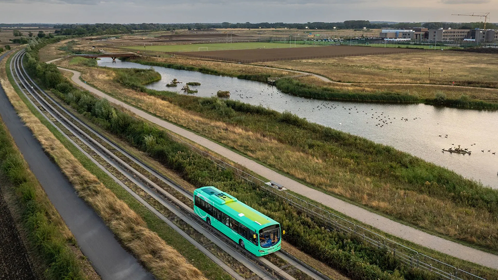
That was the challenge at Northstowe, the major new settlement just outside Cambridge. On standard web maps, large parts of the town either didn’t exist or appeared as bare ground. On the ground, hundreds of families were already living in new streets, with more phases well underway.
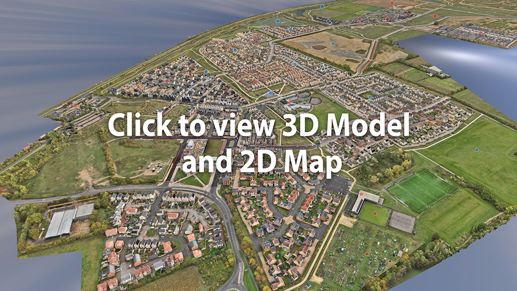
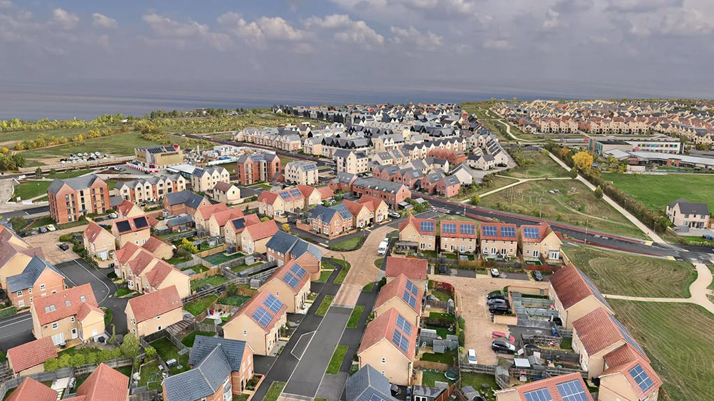
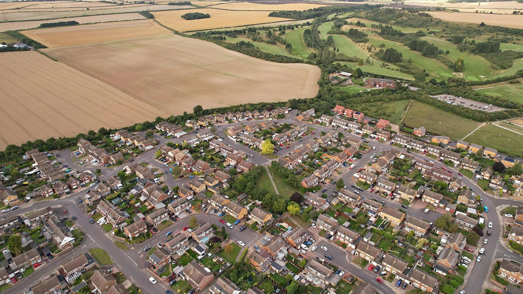
To bridge that gap, Skytech Cambridge captured more than 40,000 high-resolution aerial photographs and used them to build a true-to-scale 3D digital model and 2D map of Northstowe, covering over 615 acres of current development. As of this summer, around 1,750 homes in the town are occupied – all of them now visible and measurable in the model.
Northstowe: a new town in the spotlight
Northstowe is one of the most significant new towns in Cambridgeshire. Planned as a long-term growth area on and around the former RAF Oakington airfield, it is intended to deliver thousands of new homes alongside schools, community facilities, green space and transport links.
Progress on the ground has been closely watched. The town has already attracted national attention as one of the initial sites chosen for a new government taskforce to accelerate stalled housing, announced by Rachel Reeves. That focus on delivery makes it even more important to understand what is actually happening on site, not just what is shown on historic satellite imagery or in planning documents.
Yet rapid build-out creates its own problem: by the time new houses, roads and open spaces appear on traditional mapping, they may already have changed again. For planners, developers and infrastructure partners, that lag makes decision-making harder than it needs to be.
From drone flights to a digital twin
Skytech Cambridge’s solution was to create a living, accurate picture of Northstowe as it exists today.
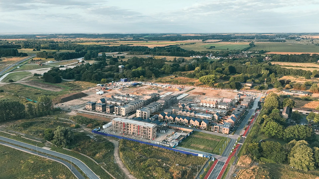
We flew the full 615-acre area, including all current housing phases, schools, local centres, key roads and surrounding open space. Flying at consistent altitude and overlap, we collected more than 40,000 images across the town.
Those images were then processed using photogrammetry techniques to:
- Reconstruct a detailed 3D model of buildings, streets and landscape
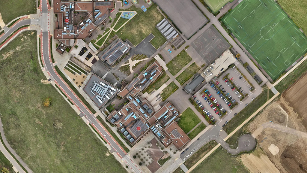
- Generate a high-resolution 2D orthomosaic map – a single, seamless image that can be measured and used as a base layer
Everything is accurately georeferenced, so the 3D model and 2D map can be aligned with existing GIS datasets, CAD drawings and planning information without guesswork.
What the 3Dmodel and 2D map shows
The result is a browser-based digital twin of Northstowe that anyone involved in the project can access on a standard device – no specialist software required.
In 3D, users can orbit, pan and zoom across the town to see the whole settlement at once. Roof forms, building heights, street layouts and relationships between new neighbourhoods are all clear at a glance.
In 2D, the orthomosaic provides a crisp, up-to-date basemap for more technical work. Planners and consultants can overlay red lines, infrastructure corridors, land ownership boundaries, transport proposals or environmental constraints, confident that the ground image beneath is current rather than several years old.
For anyone who wants to understand what has actually been built at Northstowe, this combination of 3D and 2D data is far more informative than a handful of static site photos or an outdated satellite view.
Who uses this kind of data?
Although Northstowe is a single town, the model has clear value for a wide range of professionals working on and around the site.
Local authority and planning policy teams can see how the physical town is developing against expectations. Urban designers and masterplanners can study how different phases knit together, and how future phases might be shaped. Housebuilders and strategic land promoters can use the model as a reference point for masterplans, feasibility studies and design options.
Technical consultants – from transport and utilities to drainage and landscape – benefit from having an accurate visual and spatial context for their models and assessments. And for engagement teams, the model becomes a powerful storytelling tool, helping non-specialists understand proposals without having to interpret complex plans and sections.
All of this comes from a single, shared, up-to-date representation of the town.
Beyond Northstowe: applying this approach to other sites
What we’ve delivered at Northstowe is not a one-off showcase. The same approach can be applied to other large, complex sites where traditional mapping struggles to keep up, such as:
- New settlements and garden villages
- Strategic housing sites and urban extensions
- Large regeneration areas and estate redevelopments
On these projects, a town- or estate-wide digital twin can:
- Support early-stage masterplanning, by giving teams a realistic starting point for design
- Help coordinate between multiple consultants and disciplines, each working from the same base data
- Provide a visual record of change over time when repeat surveys are carried out
- Strengthen business cases, funding bids and delivery programmes by offering clear, objective evidence of progress
In an environment where delivery is under more scrutiny than ever, having robust, current geospatial data is no longer a nice-to-have – it is increasingly essential.
Working with Skytech Cambridge
Based near Cambridge, Skytech Cambridge specialises in drone-based surveys, mapping and visualisation for the built environment. Our work spans high-level inspections, 3D modelling, mapping, thermal imaging and timelapse for commercial clients, developers and public bodies.
The Northstowe project demonstrates how drone technology, used at the right scale, can turn a fast-changing site into a clear, navigable digital asset that serves everyone from planners and designers to stakeholders and residents.
At the top of this page, you’ll find a link to the interactive 3D model and 2D map of Northstowe. Explore it, zoom in and out, and see how a new town looks when captured in detail from the air.
If you’re involved in a similar project and would like to discuss how a bespoke 3D model and map could support your work, get in touch with Skytech Cambridge – we’d be happy to talk through what’s possible for your site.
Tel: 01223 633602
Web: www.skytechcambridge.co.uk
Email: [email protected]